Hurricane Hunters fly Milton
On Oct. 9, 2024 the Air Force Reserve Hurricane Hunters flew their last mission into Hurricane Milton, their eighth mission into the storm since Oct. 6, collecting data to assist National Hurricane Center (NHC) forecasters.
As told by Lt. Col. Marnee A.C. Losurdo, 403rd Wing Public Affairs, in the article Hurricane Hunters fly Milton, collect data for NHC forecasts, the storm formed from an area of low pressure in the western Gulf of Mexico, rapidly strengthening from a tropical storm, Oct. 5 to a Category 5 hurricane, 24 hours later.
According to the NHC, Milton made landfall on Oct. 9, near Siesta Key, Florida, as a Category 3 and weakened to a Category 1 as it made its way across the state. Milton, the third hurricane to hit Florida this year, had wind gusts of 100 mph recorded near Tampa, and knocked out the power for more than three million people.

The data the 53rd Weather Reconnaissance Squadron provides to NHC is vital, potentially saving lives and property, said Lt. Col. Brad Boudreaux, 53rd WRS pilot.
A rough ride
Boudreaux was the pilot in command for the mission into Milton on Oct. 8, which departed from Keesler Air Force Base, Mississippi. During his mission, the hurricane re-intensified from a Category 4 to a Category 5, which made his first pass through the eyewall “a rough ride,” he said.
“They key to everything we do here is to narrow the cone of uncertainty,” Boudreaux said, explaining this is the most probable track of a storm. “Our job is to provide weather information to the National Hurricane Center so that they can provide the best forecast so people can prepare.”
While satellites provide information about a storm, they do not collect detailed observations, according to NHC. To get this information, NHC tasks the US Air Force Reserve and National Oceanic and Atmospheric Administration (NOAA) Hurricane Hunter aircraft to fly through the storm to collect data to improve forecasts and coordinate necessary watches and warnings for impacted communities.

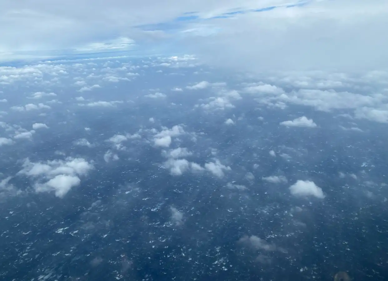
Hurricane Hunters flying through the eye of Hurricane Milton
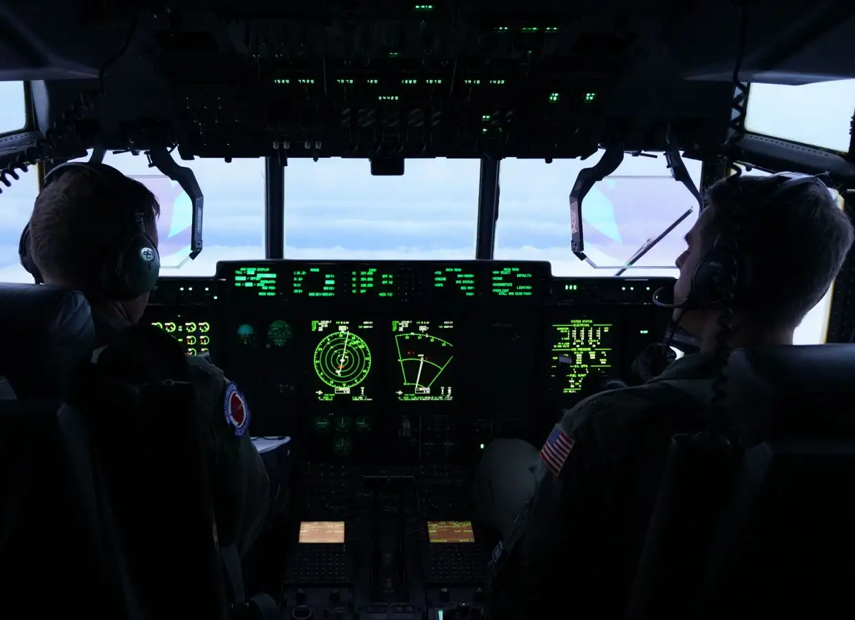
During a tropical storm or hurricane, 53rd WRS aircrews fly a WC-130J Super Hercules through the eye of a storm at about 10,000 feet four to six times. During each pass through the eye, crews release dropsondes, which collects temperature, wind speed, wind direction, humidity, and barometric pressure data. The crew also collects surface wind speed and flight-level data. This information is transmitted to the NHC to assist them with their storm warnings and hurricane forecast models in the Atlantic, Caribbean, and eastern Pacific.
With their fleet of 10 WC-130Js, the 53rd WRS, works in conjunction with NOAA’s Aircraft Operations Center. They use two types of aircraft for their missions: the WP-3D Orion and the Gulfstream GIV-SP. NOAA uses the WP-3D similarly to how the 53rd WRS uses the WC-130J, and the Gulfstream flies as high as 45,000 feet to collect data in the upper atmosphere surrounding developing hurricanes. The information they gather is used for track forecasting and research purposes.
“We provide a lot of effort to collect this data for NHC so they can provide accurate forecasts to give the public the most advanced warnings so they can prepare and get their families to safety as appropriate,” Boudreaux said.

WC-130J
The WC-130J Hercules is a high-wing, medium-range aircraft used in weather reconnaissance missions. This plane is a C-130J transport configured with palletized weather instrumentation for penetration of tropical disturbances and storms, hurricanes and winter storms to obtain data on movement, size and intensity. The WC-130J is the weather data collection platform for the 53rd Weather Reconnaissance Squadron.
The aircraft is capable of staying aloft almost 18 hours at an optimum cruise speed of more than 300 mph. An average weather reconnaissance mission lasts 11 hours and covers almost 3,500 miles. The crew collects and reports weather data as often as every minute.
The WC-130J carries a minimal crew of five: pilot, co-pilot, navigator, aerial reconnaissance weather officer and weather reconnaissance loadmaster. The crew and the aircraft are assigned to the 53rd WRS, an Air Force Reserve Command unit assigned to the 403rd Wing at Keesler Air Force Base, Miss. The 53rd WRS, known as the Hurricane Hunters, is responsible for hurricane reconnaissance missions in the Atlantic Ocean, the Caribbean Sea, the Gulf of Mexico and the eastern and central Pacific Ocean areas.
Aerial Reconnaissance Weather Officer
From the front of the cargo compartment, the Aerial Reconnaissance Weather Officer operates the computerized weather reconnaissance equipment and acts as flight director in the storm environment. The weather officer also evaluates other meteorological conditions such as turbulence, icing, visibility, cloud types and amounts, and ocean surface winds. The ARWO uses the equipment to determine the storm’s center and analyze atmospheric conditions such as pressure, temperature, dew point and wind speed. This data is sent in real time via satellite link to the National Hurricane Center in Miami, FL.
In May 2007, the WC-130J was equipped with the Stepped-Frequency Microwave Radiometer, a state of the art instrument which continuously measures the surface winds and rainfall rates below the aircraft. This data is critical in mapping the surface wind environment below the aircraft and provides enhanced surface wind information to the National Hurricane Center.
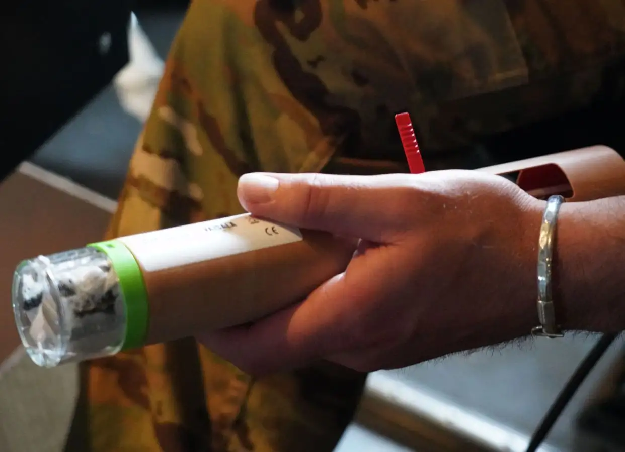
Another critical piece of weather equipment on board the WC-130J is the dropsonde system. The GPS Dropsonde Windfinding System is a cylindrically-shaped instrument about 16 inches long and 3.5 inches in diameter and weighs approximately 2.5 pounds. The dropsonde is equipped with a high frequency radio. The instrument is dropped within the eye and eyewall of hurricanes and provides a direct reading of surface pressure. As the instrument descends to the sea surface, it measures and relays to the aircraft a vertical atmospheric profile of the temperature, humidity and barometric pressure and wind data. The dropsonde is slowed and stabilized by a small parachute. The Dropsonde System Operator receives, analyzes and encodes the data for transmission via satellite.
Photo by Lt. Col. Marnee A.C. Losurdo and Lt. Col. Mark Withee / U.S. Air Force

