All was calm halfway over the Demilitarized Zone (DMZ), but Graham suddenly observed a big object over North Korea that was astonishingly higher than his SR-71 Blackbird actually was
Performances from the SR-71 Blackbird were astounding.
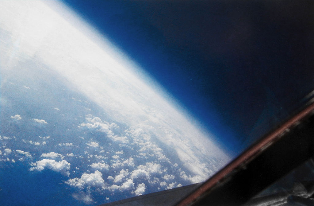
The Lockheed SR-71 Blackbird Mach 3 strategic reconnaissance aircraft maintained that title for the majority of its nearly 24-year service. It could survey 100,000 square miles of the Earth’s surface per hour from an altitude of 80,000 feet.
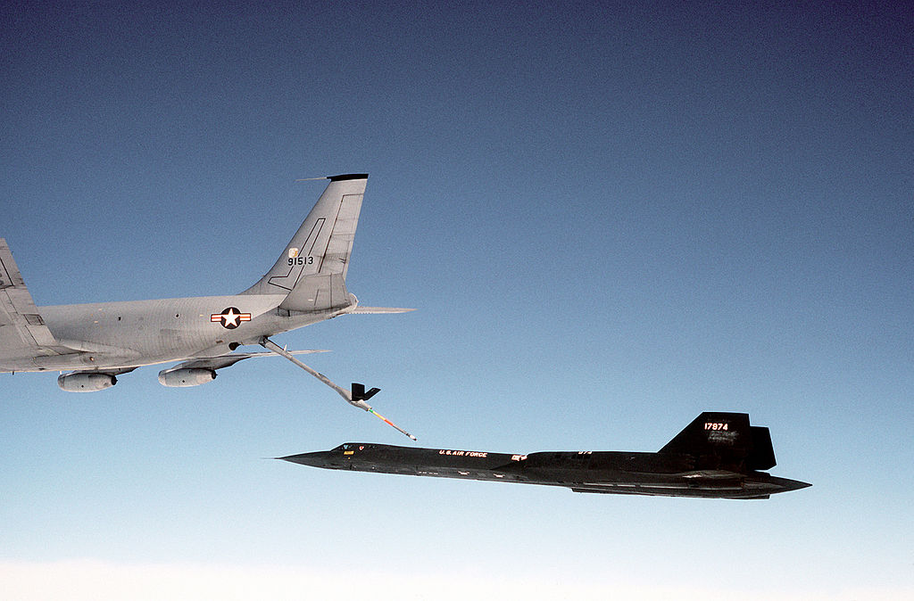
However, despite these distinctive qualities, the Blackbird was an extremely short-range aircraft; in fact, depending on the mission plan, the majority of sorties required at least one and occasionally as many as six aeuelings.
However, a reconnaissance mission that didn’t require aerial refueling was occasionally flown from Okinawa to gather intelligence on North Korea. Col. Richard H. Graham, a former Blackbird pilot, piloted one of these missions and detailed it in his book SR-71 The Complete Illustrated History of THE BLACKBIRD The World’s Highest, Fastest Plane: “From takeoff to landing the total mission time was fifty-seven minutes and we named it the ‘Rocket Ride.’ This mission was very demanding because everything happened so quickly: departure, acceleration and climb, cruise, and descent for landing. Mentally you had to stay well ahead of the plane on this mission compared to others.”
Graham says that the 160-mile-long and 2.5-mile-wide demilitarized zone (DMZ) separating North and South Korea is the most highly militarized region on earth. The purpose of the Rocket Ride missions was to keep an eye on military installations and tunnels that North Korea had developed on the north side of the DMZ over a long period of time in anticipation of future confrontations with South Korea.
Graham was the Reconnaissance System Officer on the first Rocket Ride with Don Emmons (RSO, the Blackbird backseater). According to Graham “Our mission was planned to fly down the middle of the DMZ, imaging directly under the SR-71 and North Korea about fifty-seven miles.” They flew directly from Okinawa north over the Korean Straits into the Sea of Japan, past the DMZ from northeast to southwest, out into the Yellow Sea, and back to Okinawa.
The SR-71’s takeoff roll was longer than typical because it was loaded with 65,000 pounds of fuel. They conducted a 400-knot rising left turn to the north after liftoff while still in AB and fled Okinawa. They reached 33,000 feet in four to five minutes, where they started accelerating and climbing at supersonic speeds.
They immediately reached Mach 3.0 and leveled off at about 73,000 feet. From Okinawa’s brake release to Mach 3.0 and 73,000 feet, the total time was slightly under seventeen minutes.
Graham concentrated on the Blackbird’s performance when they crossed the DMZ, and Emmons was busy keeping an eye on the sensor systems. As North Korean surface-to-air missile (SAM) sites were looking for or monitoring them, he also maintained a close check on the radar warning equipment informing him of this. Over the DMZ, we spent around seven minutes in total.
All was quiet around halfway through the DMZ when Graham abruptly observed a big object over North Korea that was astonishingly higher than they actually were. As Graham recalls “whatever it was, we were closing on it fast! I barely had time to tell Don when it rapidly passed directly over and behind us. It turned out to be a high-altitude weather balloon that could have been launched from USSR, China, North Korea, or South Korea. Don and I agreed later this was probably coincidental, rather than a nefarious plot of some sort.”
As soon as the SR-71 left the DMZ and entered international airspace, its onboard sensors began recording electronic signal intelligence. If China’s military radar network had detected the SR-71 and responded, the recorders would have gathered a wealth of information about Chinese capabilities to respond to the Blackbird’s presence. Instead, shortly after leaving the DMZ, Graham and Emmons heard a very peculiar HF radio call. The RSO decrypted the message, which instructed them to confirm the correctness of their navigation system. They continued on course after confirming their navigation system, started a left-hand descent, and landed at Kadena Air Base in less than an hour.
As Graham explains “we found out later that the other assets didn’t know our programmed flight path and when they were aware the SR-71 was heading directly for China it raised a red flag. The sheer excitement of this Rocket Ride made us look forward to future ones!”
Photo by Lockheed Martin, Ken Hackman, and Brian Shul / U.S. Air Force


